Iron Horse Project
Project Summary
This property is available for sale or JV/option.
The Iron Horse Property is located in the eastern portion of the Labrador Trough, Canada’s premiere Iron Ore district. Access is good and water resources are abundant. A 1.9% NSR is payable to Metals Creek Resources and a 1% NSR is payable to Altius Minerals Corp. To date, the property has been covered with a mag/EM survey and an airborne gravity survey (Fugro Airborne Surveys Falcon Airborne Gravity Gradiometer system). The Company completed eight diamond drill holes in 2012, the only holes on the property, and all holes intersected significant iron mineralization. The property (as identified by the gravity survey) appears to have the potential for high-grade DSO (direct shipping ore) which requires drill testing. In July 2015, the Company completed a core sampling program on the Iron Horse property with a focus on identifying potential uranium mineralization. Archived core from the 2012 drill program were examined and several samples were collected. Previous operators who were exploring for uranium on the Iron Horse property reported historical uranium mineralization of up to 1800 parts per million uranium from float samples collected in 1957 by Labrador Exploration & Mining. In July 2017, the Company received final assay results from core samples found to be moderately radioactive. Hole GL-12-02 had five samples cut that all returned significant uranium results ranging from a low of 118 ppm U to a maximum of 1630 ppm U. The extent of the uranium mineralization at this time is not known but this does represent the first bedrock occurrence of uranium in the region.
Historical surface sampling of float also reported anomalous values in vanadium (>5000 ppm V) as well as anomalous heavy and light rare earth elements.
Highlights
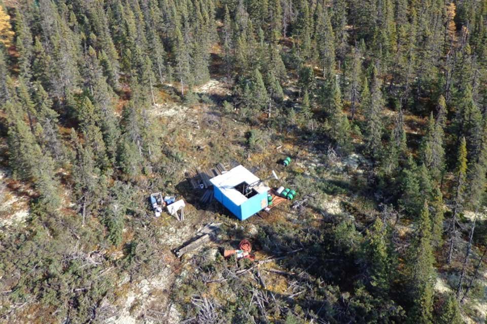
181 claims; 4,525 hectares; 100% owned - subject to third-party NSR
Located approximately 120 km Northeast of Labrador City, Labrador
55 km East of QSN&L rail line (common carrier); 8 km south of gravel road
3 bulk tonnage areas, Anomaly A, B and D: only A and D are drill tested
Only eight reconnaissance holes in total to date; 2,400 metres
Anomaly A – 354 metres grading 27.75% Fe from GLAA12-02
Anomaly D – higher grades, 87.49 metres grading 34.03% Fe from GL12-04
Property has U/V/REE potential; up to 1630 ppm U; >5000 ppm V; anomalous REEs


